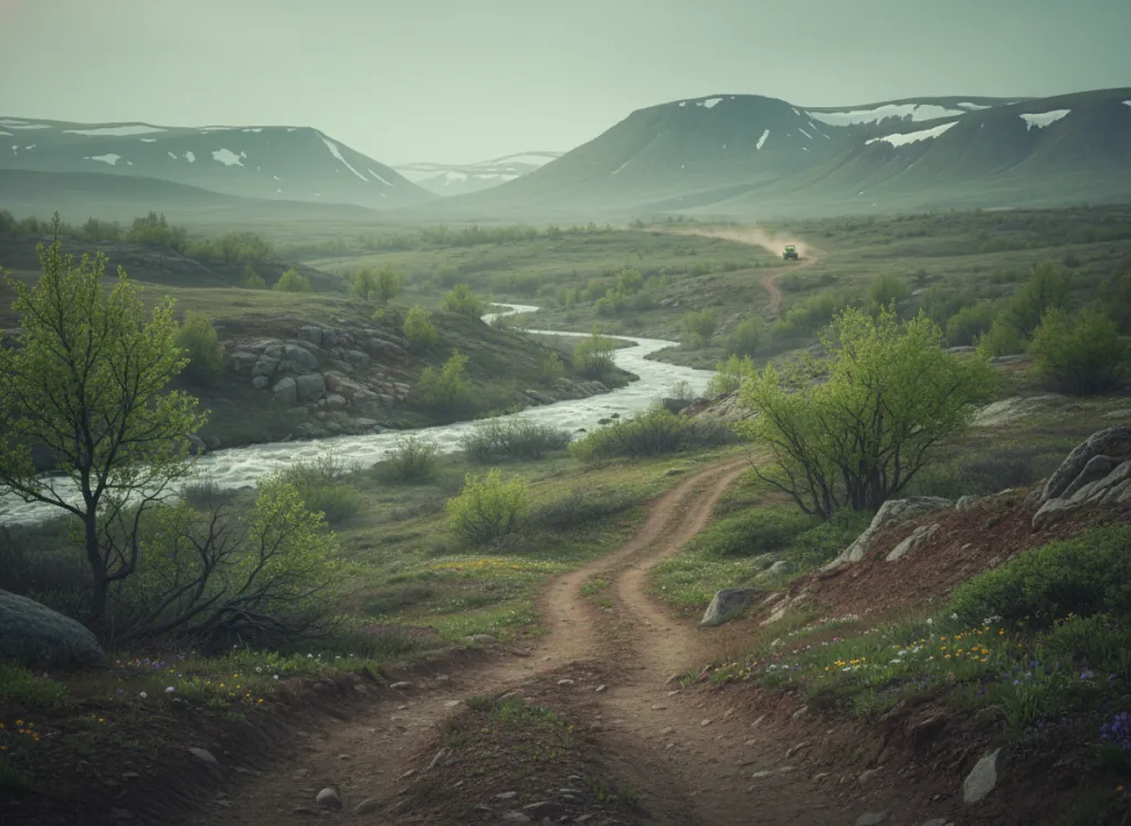
The Black Hills National Forest encompasses 1.2 million acres of the Black Hills in western South Dakota and northeastern Wyoming: the sacred Paha Sapa (Black Hills) of the Lakota Sioux, an isolated forested mountain dome rising 4,000 feet above the surrounding Great Plains that constitutes the highest terrain between the Rockies and the Appalachians. The forest OHV system covers designated trails and forest road routes across the forest's three ranger districts in the Custer, Hill City, and Spearfish areas, providing public-land off-road riding access to terrain that is unlike anything else in the northern Great Plains: dense ponderosa pine forest on the upper slopes and ridges, open granite outcrops and meadows on the higher summits reaching 7,200 feet at Harney Peak (Black Elk Peak), limestone canyon country on the forest's eastern margin, and the characteristic Black Hills geological feature of ancient crystalline Precambrian granite at the dome's core exposed by erosion through the surrounding sedimentary plains. The OHV trail system provides access to riding terrain that connects the southern Black Hills communities of Custer and Hot Springs with the central Hills around Hill City and Keystone: the same corridor that encompasses Mount Rushmore, Crazy Horse Memorial, Custer State Park, Jewel Cave, and Wind Cave National Park, making the Black Hills one of the densest concentrations of major visitor destinations adjacent to OHV riding terrain in the United States. ATVs, UTVs, dirt bikes, and appropriately sized vehicles on designated routes. South Dakota OHV registration required. The Hell Canyon Ranger District office in Custer (605-673-9200) is the primary OHV contact for the southern forest; the Mystic Ranger District in Rapid City covers the northern areas.
Hours
Open year-round on designated routes at lower elevations; higher trails close under snow. No day-use fee. South Dakota OHV registration required.
Phone
605-673-9200Trip openings, seasonal updates, and the occasional deal, straight to your inbox.
FAQ
Everything you need to know before you get started.
Have a question, or ready to book? Reach out and we’ll get right back to you.